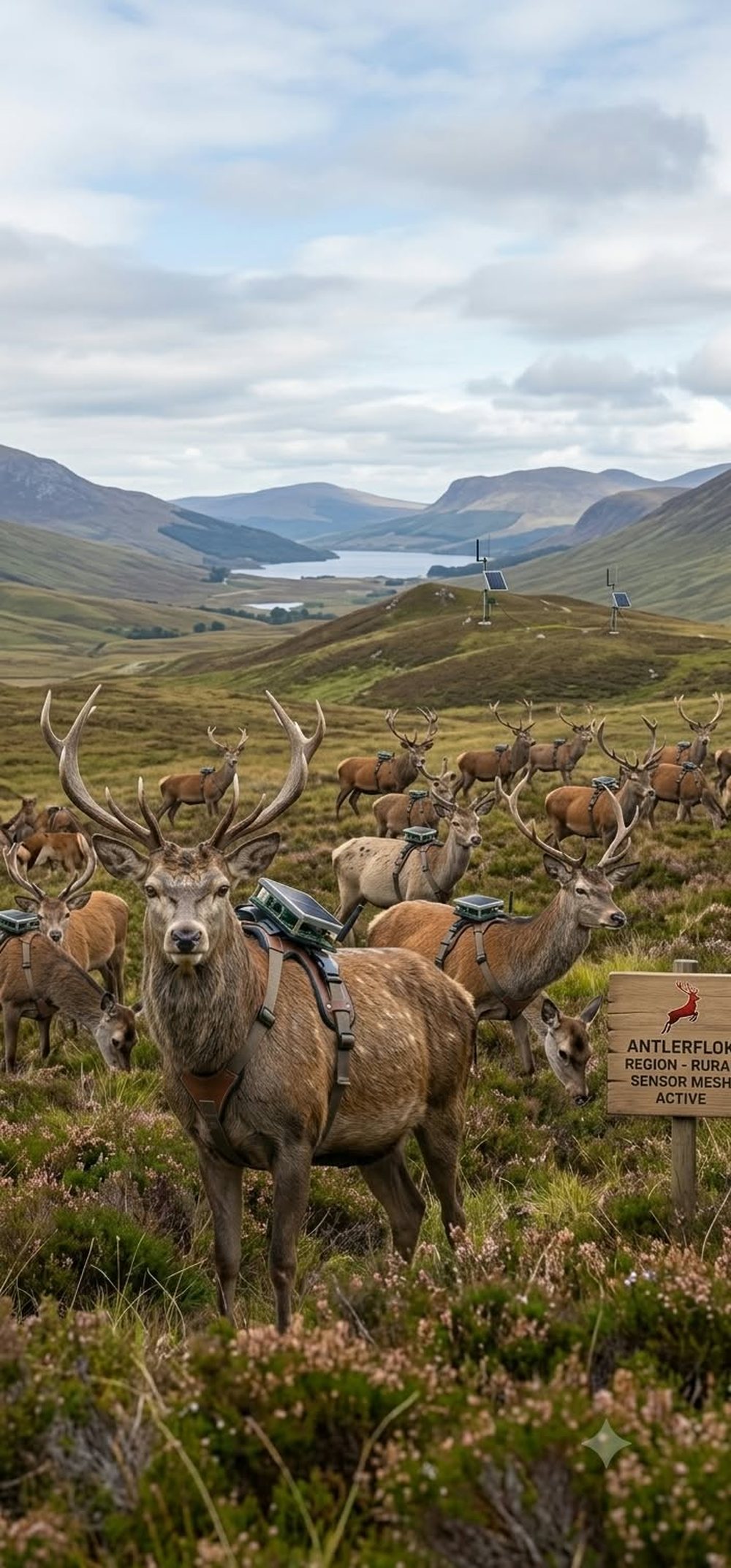
Where there is no tower there is still a herd, a tree line and a sky. A solar LoRa harness on managed deer, a receiver strapped high on a trunk, and a drone repeater parked over the park give a ranch, a preserve or a national park a $0/month mesh: road-crossing warnings, bear alerts, search-and-rescue text, fire and weather readings, and a map of where the animals actually go.
Where there is no tower there is still a herd, a tree line and a sky. This is the rural sensor mesh, and this is how it gets built.
A breakaway harness, a solar node, GPS only when asked. Managed herds first; wild herds with the agency. Every step is a packet, every packet a point on the map.
 02 · Bears
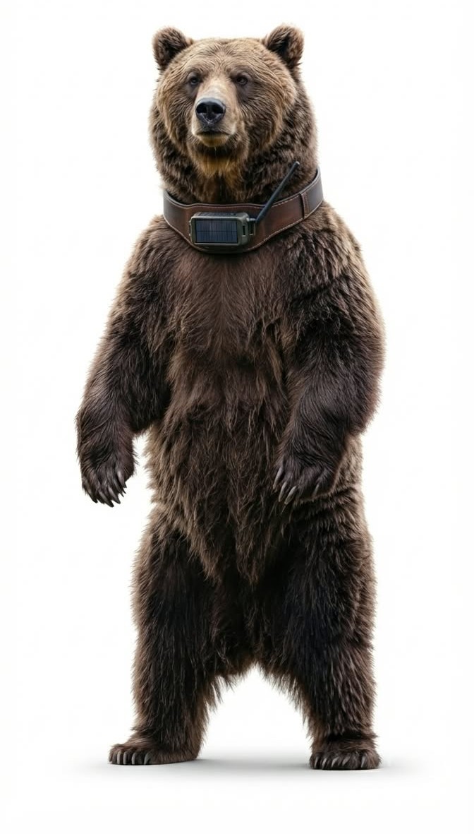
Where an agency already collars bears, the same radio puts them on the mesh. A bear a quarter mile from a campground pings the ranger and every hiker on that trail. Track the bear, not just the human.
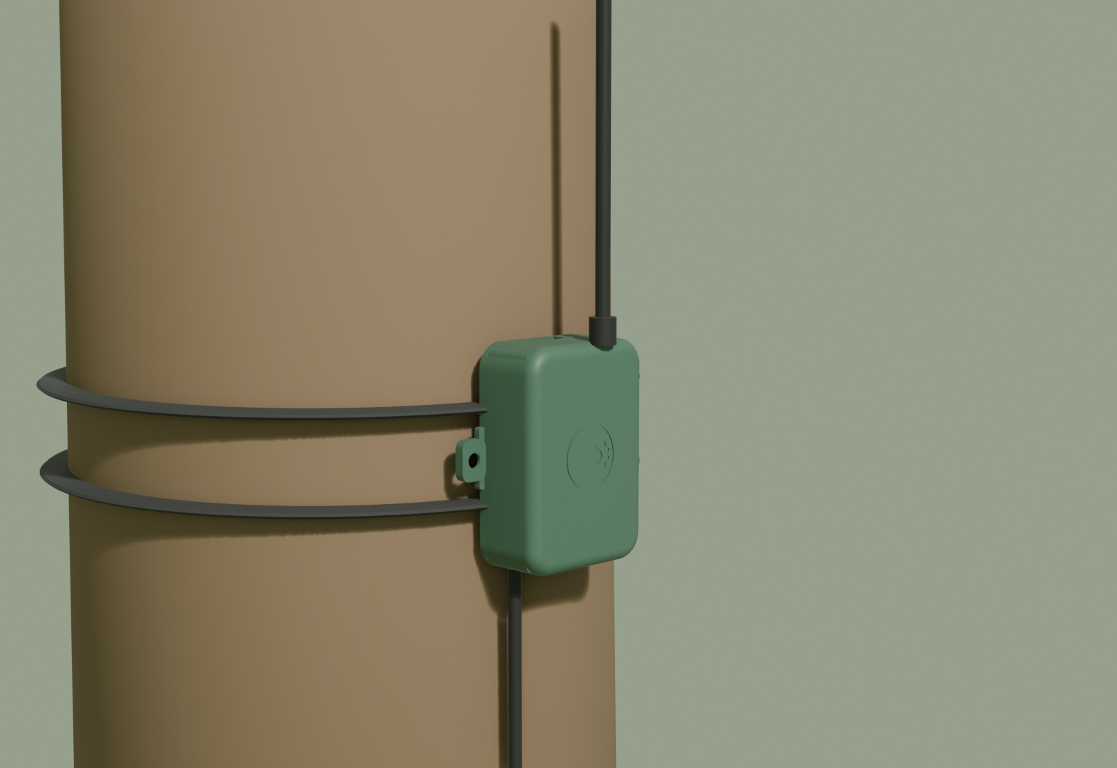
The receiver box on a trunk strap, solar on top, antenna above the crown. Five to ten miles a hop, ridge to ridge, and a weather station on every one for free.
A repeater at 400 ft when a ranger needs a whole valley: a missing hiker, a fire start, a herd after a storm. Only with the permit, only when asked.
SAR messages with no signal, a roadside beacon lit by the herd, and a season of tracks that tells the agency where the bridge goes. Now the details.
Deer are wildlife: nobody tags a wild deer without the state wildlife agency's permit and a research or management partner. So AntlerFlok starts where the permits are simple: deer farms, fenced preserves, ranches and university herds. Wild herds come with a park, a state Fish & Wildlife biologist, and a study.
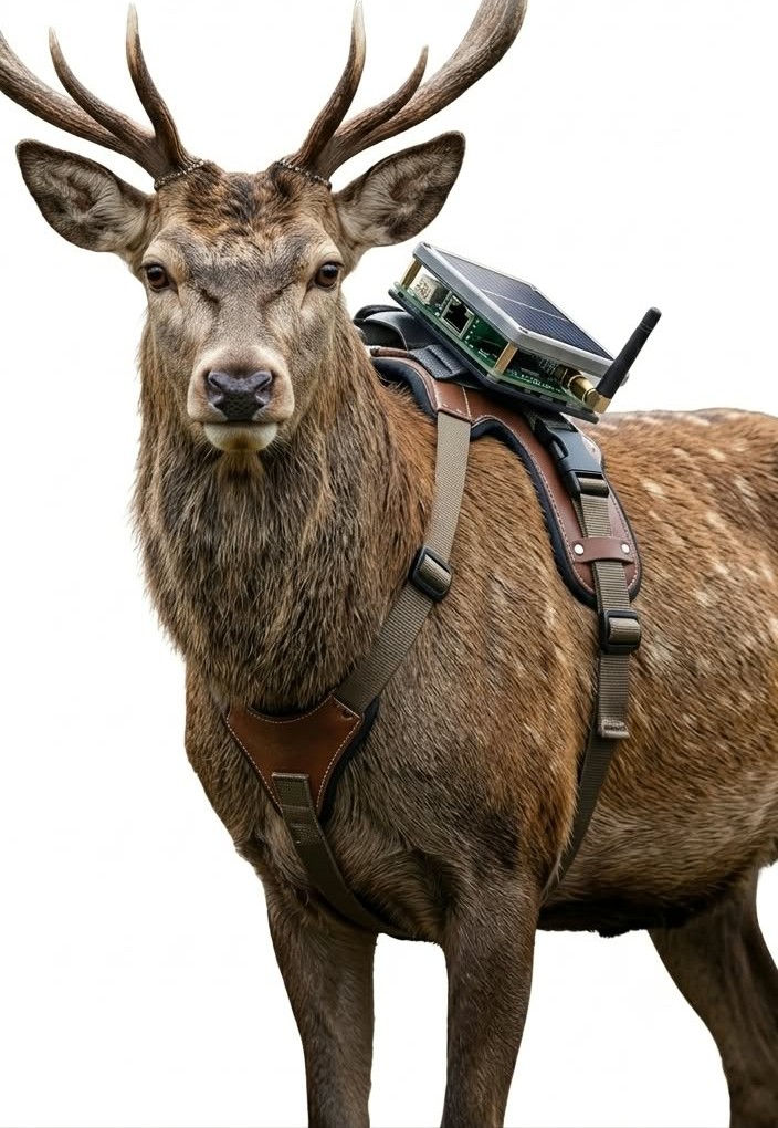
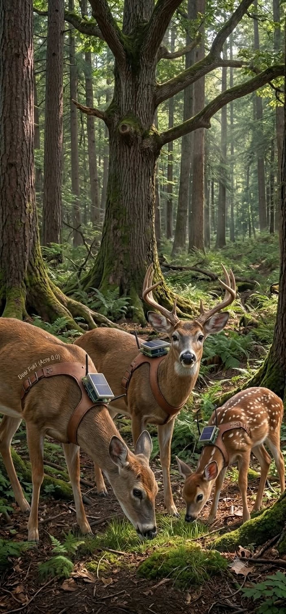
A quick-release harness (never a fixed collar that can hang up in brush), a solar patch, LoRa radio, motion sensor and temperature. GPS fixes only on schedule or on request, so the node runs for seasons. It drops off on a timer or a command so no animal carries hardware for life.
The Petfindr receiver box on a trunk strap, high enough to see over the brush, solar on top, whip antenna above the crown. A drone repeater lifts to 400 ft when a ranger needs to hear a whole valley. One connected roof at the trailhead bridges everything to the map.
Every node relays for every other. A deer in the creek bottom reaches a deer on the ridge; a receiver on a trunk hears both; a drone parked over the park hears the whole drainage. The animals cover the ground; the trees hold the height; the sky fills the gaps.
A solar sign at the known crossing listens for tagged deer. When the herd is within a few hundred yards at dusk, the sign flashes: "DEER CROSSING NOW". Drivers slow for a live warning in a way they never do for a yellow silhouette. Same box, same radio, a light instead of a map.
The harness carries a small vibration motor, the same buzz-before-food cue the Cat City collars use. Paired with a feeding station on the safe side of a crossing structure, deer learn that the buzz means "the good route is this way". No shock, no pain, no fence: a cue and a reward, tested with the biologist on a managed herd first.
A season of tracks shows exactly where a herd wants to cross, at what hour, in what weather. That is the missing number for wildlife bridges and underpasses, which cut collisions by up to 90 % where they are placed right. We hand the agency the map, and the map pays for the bridge.
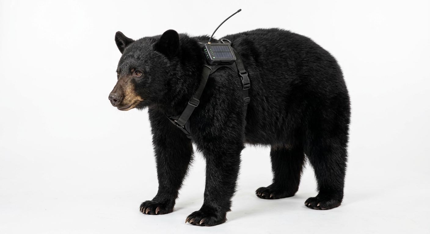
Where an agency already collars bears, the same LoRa layer puts them on the mesh: a bear within a quarter mile of a campground, a trail or a school bus stop pings the ranger and every hiker's pocket node on that trail. Bear-proof the trip, not just the trash can. Only with the agency, only on bears it already handles.
State Farm counted about 1.7 million animal-collision claims in the year to June 2025, 1.1 million of them deer, at an average of $5,620 per claim; wildlife-vehicle collisions cost the US roughly $8 billion a year and kill about 200 people. The search-and-rescue numbers, the trail-count numbers and the sourced study are on the studies page.
Read the studies → City studies (Cat City) →
Sources: State Farm animal-collision reports 2024-25; Pew Charitable Trusts, Wildlife-Vehicle Collisions Are a Big and Costly Problem (2021). Our program figures are estimates until a pilot runs.
Fenced deer, elk or cattle: the permits are yours already. We supply harness nodes, two canopy receivers and the map; you get a herd you can see, a fence line that reports, and weather on every ridge.
State Fish & Wildlife, a park biologist and a university on the paperwork; we bring the hardware, the canopy line, the crossing beacons and the SAR text layer. Ninety days, one drainage, a report you can publish.
Same mesh, same boxes, same map, pigeons on the rooftops instead of deer on the ridges. Cities and parks share one network at the edge of town.